

Broke & Bougie
Heritage Storefronts and Murals in Moody Centre
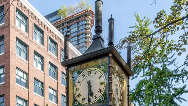
Port Moody's original main street: false fronts, vintage shops, painted utility boxes and a 1908 railway station at the end of it.
Moody Centre, Clarke Street
More infoBroke & Bougie
Port Moody's original main street: false fronts, vintage shops, painted utility boxes and a 1908 railway station at the end of it.
Moody Centre, Clarke Street
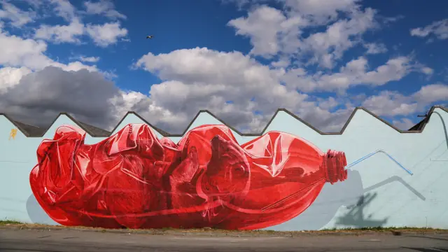
More infoEveryone in Port Moody heads for the Shoreline Trail, which leaves Clarke Street pleasantly empty. This is the town's first main street: a short run of low heritage storefronts, antique and vintage shops, a pie counter and a few cafes, with the city's public art programme scattered all through it in large side wall murals, painted utility boxes and sidewalk pieces. The City publishes a heritage and public art map for exactly this walk. Head east and the street hands you the 1908 CPR station, now the Station Museum, and then Rocky Point and Brewers Row. Twenty minutes of walking, an hour if you stop, free either way.
Start at the Moody Centre station end and walk Clarke Street east. It is four or five blocks of low heritage storefronts, antique and vintage shops and a couple of bakery counters, with large murals on the side walls and the City's painted utility boxes as the running joke. Load the City's heritage and public art map on your phone before you set off, or follow the Faces of Clarke Street self-guided walk. Keep going and the street delivers you to the 1908 railway station, now the Station Museum, and then to Rocky Point Park and Brewers Row. Most shops close by five, so time it accordingly. Free, and about an hour if you stop.
Been here? Share a useful detail from your visit, or ask what you want to know before going. Reader experiences are self-reported.