Adventure & Outdoors
Cliff-Edge Lunch at St. Mark's Summit
An 11-km round trip on the Howe Sound Crest Trail delivering clifftop lunch and ferries crawling below like bath toys.
Cypress Provincial Park, Howe Sound Crest Trailhead
More infoAdventure & Outdoors
An 11-km round trip on the Howe Sound Crest Trail delivering clifftop lunch and ferries crawling below like bath toys.
Cypress Provincial Park, Howe Sound Crest Trailhead
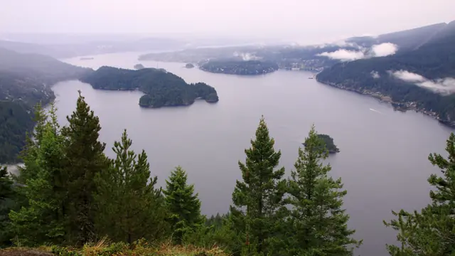
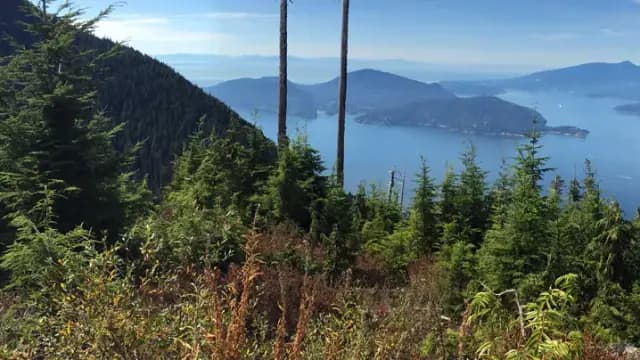
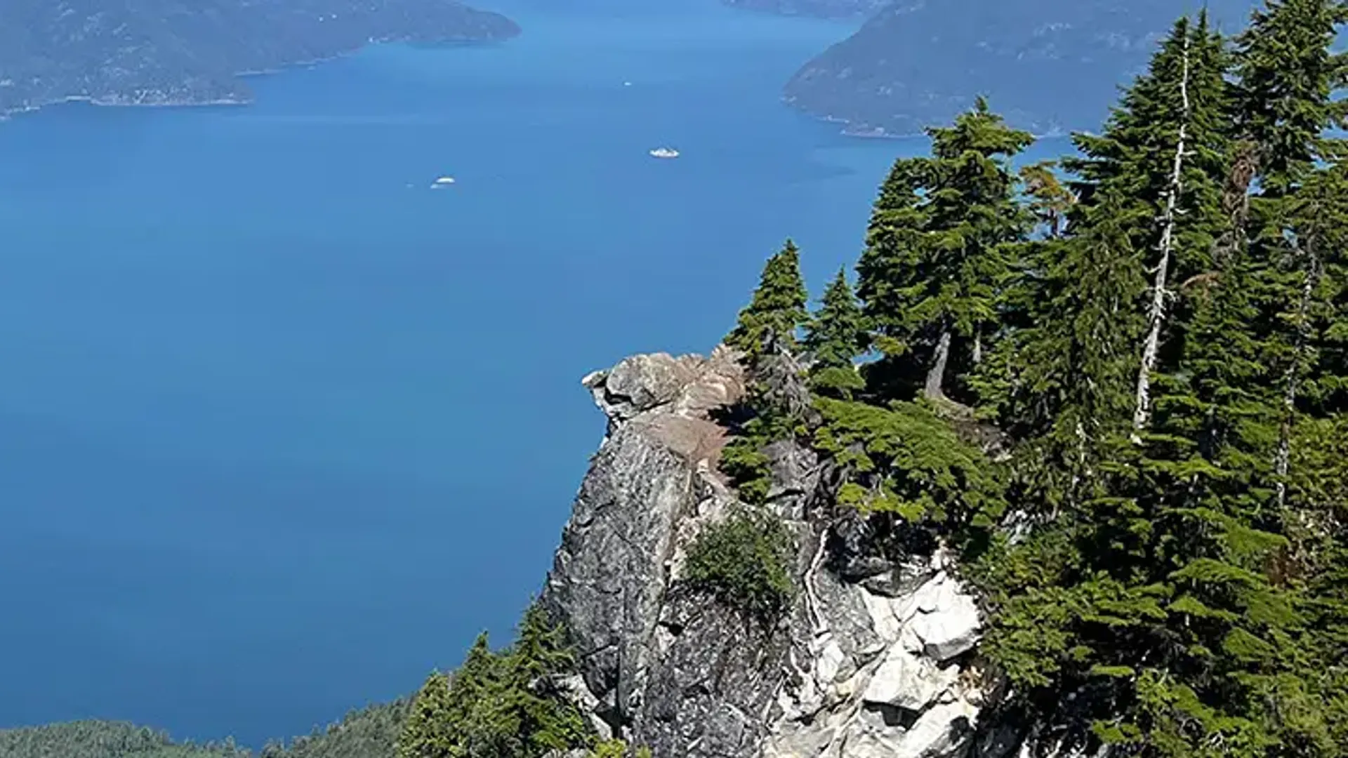
More infoSt. Mark's Summit is the date where you earn your lunch dramatically in front of a good backdrop. From the Cypress trailhead, the Howe Sound Crest route rolls up, down and up again before arriving at rocky bluffs above Howe Sound, with Bowen and Gambier spread below and tiny ferries inching across the water like bath toys. Roughly 11 km return with 460 m of gain. July to October only.
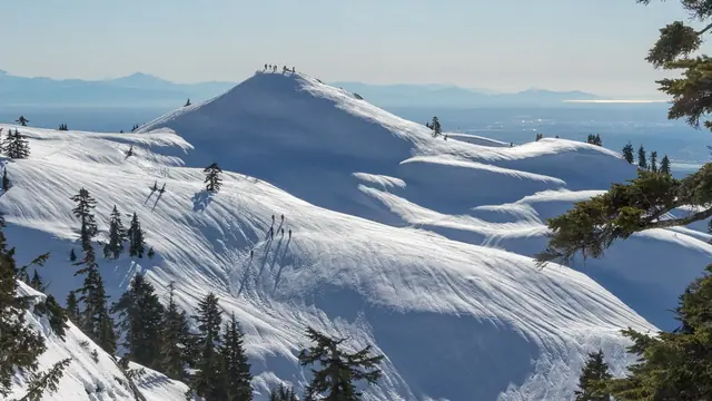
Start from the main Cypress Bowl day-use lot at the top of Cypress Bowl Road and pick up the Howe Sound Crest Trail at the north end of the parking area, by the BC Parks kiosk. The route to St. Mark's is roughly 11 km round trip with about 460 m of cumulative gain and several ups and downs, plan 4-4.5 hours with stops. The reward is a series of rocky bluffs high above Howe Sound: don't miss claiming a ledge for a picnic with Bowen, Gambier and the Sunshine Coast in front of you and ferries far below (stay back from the unfenced edges). Not feeling the full distance? Branch off to nearby Bowen Lookout for a much shorter island view and save St. Mark's for another day. This is a committing moderate hike, bring water, real boots and layers, and note the trail is snow-covered most of the year, so it's a July-to-October plan.
Been here? Share a useful detail from your visit, or ask what you want to know before going. Reader experiences are self-reported.